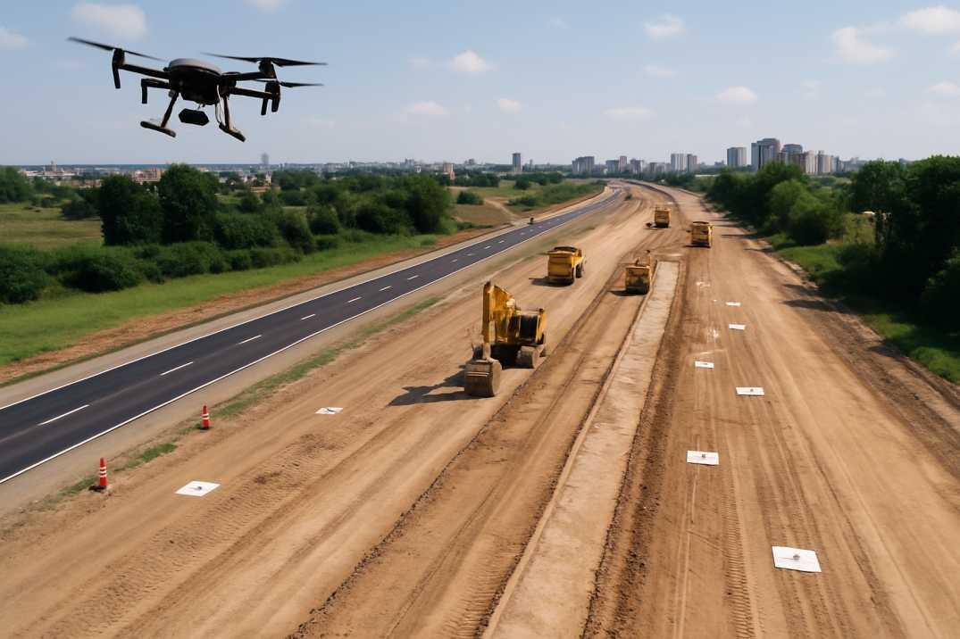
Surveying & Mapping
Topographic, cadastral, and engineering surveys with precise geospatial outputs for planning and construction.
Read More
Why Choose Us
We combine decades of field expertise with modern surveying technology to deliver dependable results for government and private projects.
High-precision land and infrastructure surveys using DGPS, Total Stations, and drone technology for reliable, error-free results.
Fast, safe inspections of solar plants, wind turbines, HT corridors, and bridges with thermal and high-resolution RGB capture.
A skilled team, modern equipment, and a track record across highways, metro, industrial, and renewable energy projects.

About X-Way Enterprise
X-Way Enterprise is a trusted engineering and surveying firm delivering high-accuracy data through advanced technologies. We specialize in drone surveys, photogrammetry, and geospatial analysis for infrastructure, construction, and utility projects.
Who We Are
At X-WAY ENTERPRISE, we deliver high-precision land surveying and advanced drone mapping solutions across India. With decades of experience and modern technology, we help clients achieve accurate measurements, faster execution, and reliable data.

Our Services
Topographic, cadastral, and engineering surveys with precise geospatial outputs for planning and construction.
Read More
Thermal and RGB aerial mapping to identify hotspots, micro-cracks, and soiled panels for higher energy output.
Read More
Close-up drone inspection of blades and towers to detect structural damage, lightning strikes, and erosion.
Read More
Aerial thermographic tracking of transmission lines for overheating components and corridor encroachments.
Read More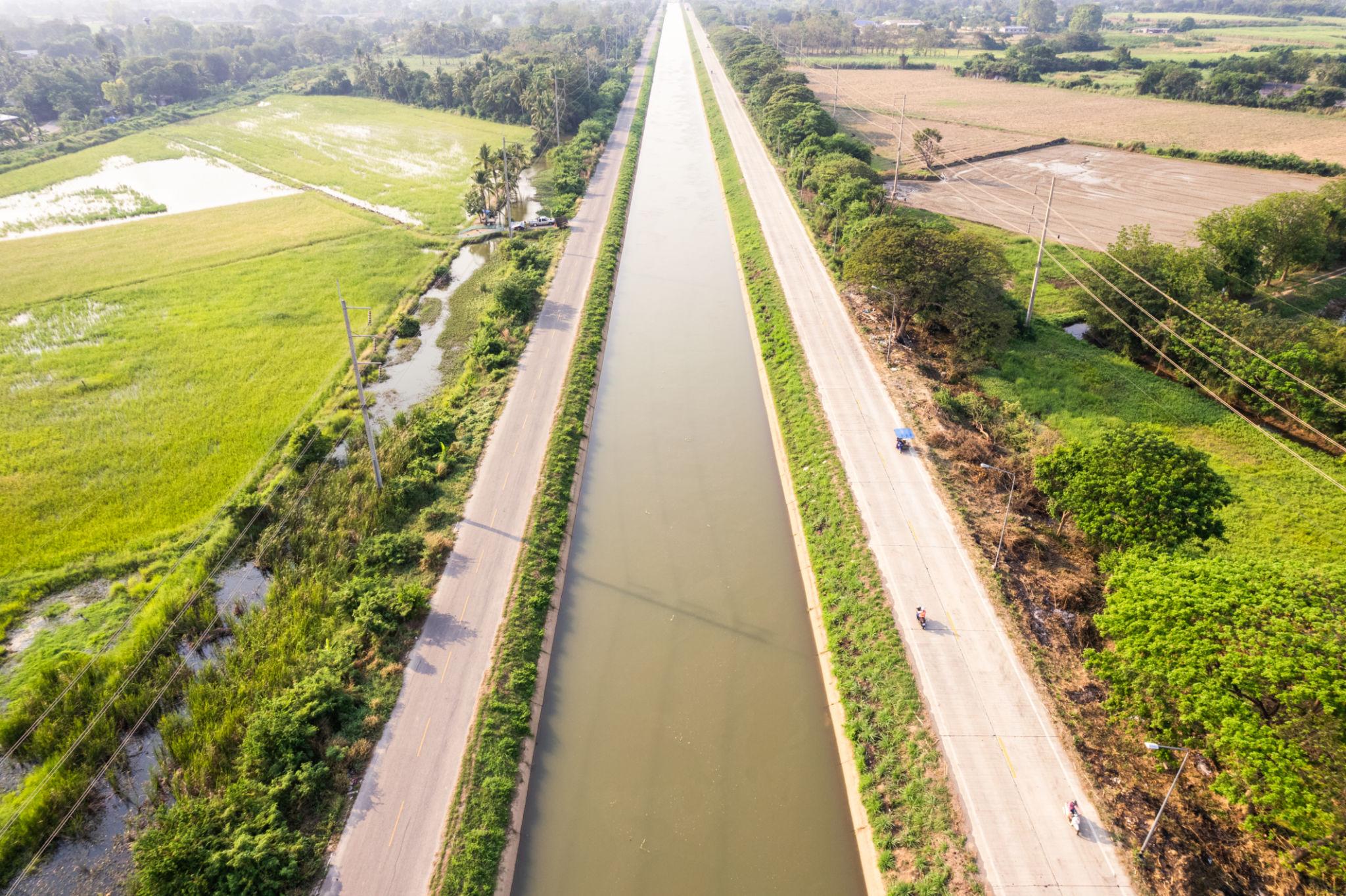
Underwater depth profiling for canals, ponds, dams, and harbors to support irrigation and marine works.
Read More
Safe, contactless aerial assessment of bridge decks, piers, and hard-to-reach structural elements.
Read MoreHow We Work
Share project goals, site details, and accuracy requirements with our team.
Deploy DGPS, drones, and field crews for high-precision data capture.
Process imagery and measurements into maps, models, and engineering outputs.
Receive clear reports and CAD/GIS deliverables ready for decision-making.
Our Clients
Talk to our team about land surveying, drone inspection, or bathymetric requirements across Gujarat and beyond.