
We deliver accurate bathymetric survey services using advanced technology to map underwater terrain and monitor water bodies with precision and reliability.
Bathymetric Survey
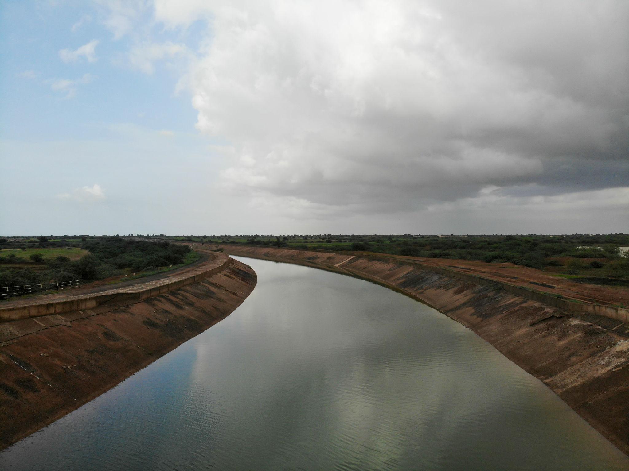
We provide advanced bathymetric survey services to measure depth, map underwater terrain, and support water infrastructure projects. Our sonar, LiDAR, and GPS workflows deliver reliable results for dams, rivers and canals.
Our Capabilities
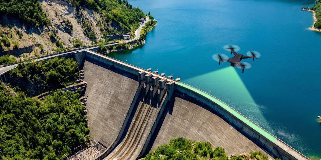
Detailed underwater and structural surveys of dams to assess sedimentation, storage capacity, and condition using sonar and LiDAR technology.
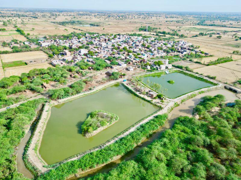
Accurate pond depth measurement and mapping for water management, desilting, and environmental monitoring with GPS-integrated workflows.
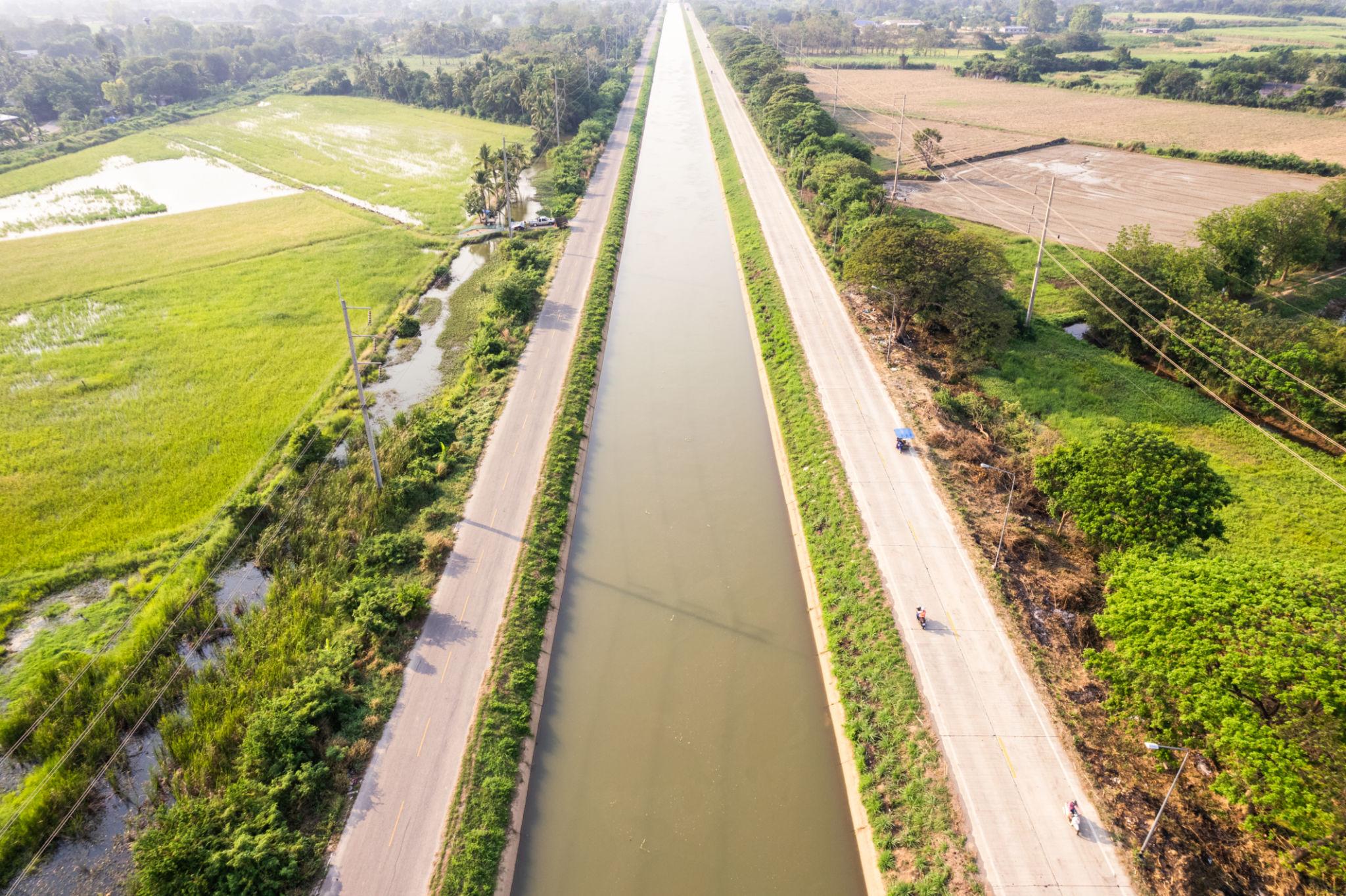
Bathymetric surveys of canals to monitor silt levels, flow capacity, and maintenance requirements — keeping irrigation networks at peak efficiency.